
WINDTRACE Project
Real-time 3D Mapping of Atmospheric Wind
Overview
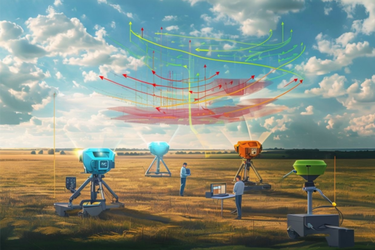
WINDTRACE is a Technology Readiness Level (TRL) 5 stationary LiDAR system designed for real-time, three-dimensional mapping of atmospheric wind. This system provides crucial data for optimizing autonomous soaring performance.
Problem Statement & Mission
Small Unmanned Aerial Systems (sUAS) currently lack access to precise, real-time, low-altitude wind data, which is essential for optimizing soaring performance and extending operational endurance. WINDTRACE's mission is to create a ground-based LiDAR system that can visualize wind patterns in a limited area, rendering the data as a 3D point cloud with time-based motion to support autonomous soaring and localized weather monitoring.
Technical Details & Key Features
- Ground-based LiDAR system for localized wind mapping.
- Visualizes wind patterns in a 30x30-meter operational area.
- Renders wind data as a dynamic 3D point cloud.